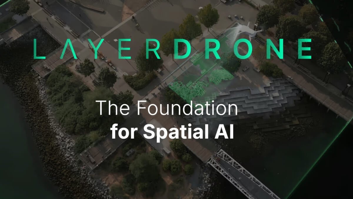
LayerDrone Launches to Build Decentralized Earth Imagery Network for the Spatial AI Era
SPEXI has released the web3 tech stack on the Layerdrone Foundation, launching an open, decentralized drone network to capture the ultra-high-resolution ground image for spatial AI and real-world applications. The laydrone network delivers an image of up to 1cm resolution – 900 times more detailed than satellite – providing accurate data for the use of … Read more
